Proceeding from Mt. Hardy on March 13, I arrived at the Grassy Ridge Mine Overlook on the Blue Ridge Parkway. I read the notes from Dean K2JB and Patrick KI4SVM – with emphasis on keeping an eye on the fence line on the right for navigation for summiting Steestachee Bald W4C/WM-010. I got on the Mountains to Sea Trail (MST) for about 50 meters and began the bush-whack after I passed the cut-up dead fall which crossed the trail. I saw the fence line that Dean mentioned and kept it within eyesight as I trudged on up the steep summit. There was no definable ridge so this fence line was important to keep an eye on. I dodged many fallen trees on the way up. Being leafless, the hardwood thicket was easy enough to bust through. Only 750 meters or so to the summit and before long I was there. I found a small clearing at the summit to set up my radio station. The climate was pretty temperate and comfortable and I settled into my sweep of the bands from 20m to 30m, then 40m and 60m and generated a lot of QSOs. I did get a summit-to-summit call with AC1Z who was on W1/HA-010 which was a nice bonus. Time to head back down the hill and go on to Waterrock Knob. I took a track favoring ease of footing and lost track of the fence line. I did not realize that I was veering away from the fence line track. I should have generated more way points on the way up. I only had two way points – one half way and one back at the car. I tried to navigate to the most recent way point and realized that it was to the left of me and almost behind me. I knew I had to scoot sideways to recover to the fence line. My footing was either soft or hard depending on whether I was stepping on rocks or fallen leaves. I kept on sliding over to the left as I carefully and slowly made my way down. Soon I found out that I had to climb out of the hole I was in back to car for about 200 meters to the left. I never did see the fence line and just saw my truck above me about 50 meters away. It was a relief to hear the sound of cars passing on the Blue Ridge Parkway and seeing my truck again.

The start of the hike on the MST. There i a cut up log about 50 meters away where the bushwhack starts
A look back to the truck as I got started
Summit is heavily forested but there is a good cell signal
The summit is not that big
The overlook where the truck was parked
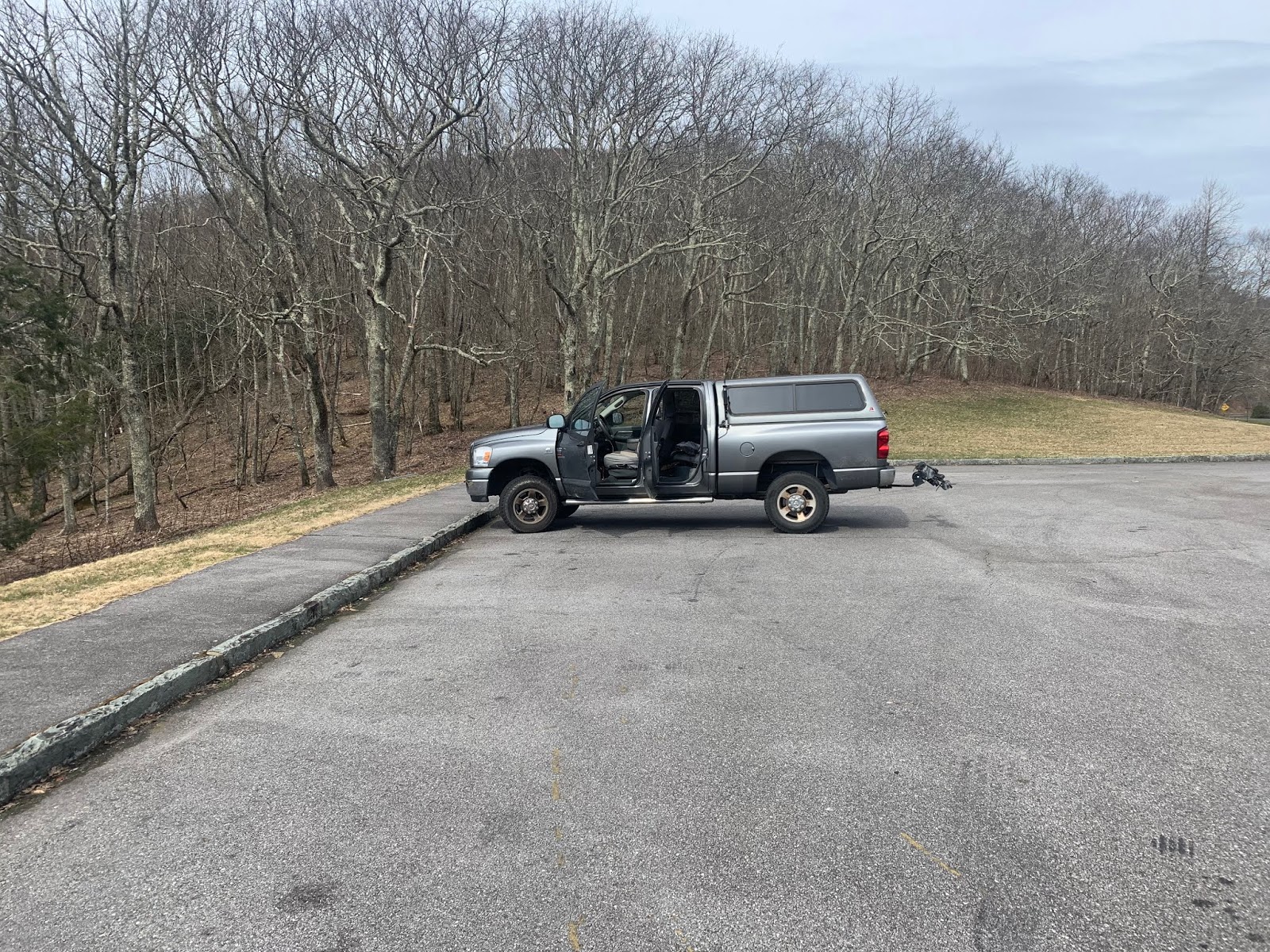
Getting ready to go to Waterrock Knob
I got in the car and noticed the soreness of my quads from the effort of the bush-whack. I proceeded on to Waterrock Knob W4C/WM-004, another 10 pointer. This was a civilized hike with a partially paved walk up of 800 meters or so and 138 meters of vertical. It was short but steep with large rocks as stepping stones. With my sore quads, I slowly made my way up the trail. Soon I was on a familiar summit. Scott KW4JM and I had been here the year before and this was one of my first few summits. I recognized the trees and the bench that had been there previously. Set-up now is second nature and I was on the air in just a few minutes, swept the bands as usual. No summit-to-summit QSO’s while on the summit this time. After the sweep of the bands, it was time to head back down and savor the day. It was still a pretty good day with 2 out of 3 summits successfully activated. I was both tired and hungry.
View of the parking lot from the summit


No comments:
Post a Comment